FR
°F
Changer les mesures
Meters
Feet
°C
°F
km/h
mph
kts
am/pm
24-hour
Vos paramètres ont été mis à jour
Changer la langue
Deutsch
Español
Italiano
Nederlands
中文
English
Français
日本語
Português
Aujourd'hui
7 jours
Temps
Pêche
La mer
Marées à
United States
Marées à
Virginia
Marées à
Accomack County
Température de la mer à Accomack County
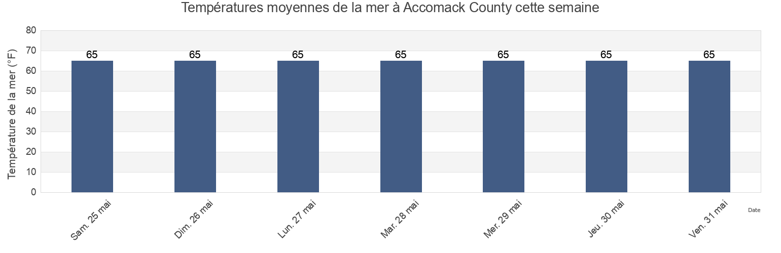
Température de la mer à Accomack County cette semaine
Plus d'informations sur les marées et le milieu marin pour Accomack County
Marées Aujourd'hui
Marées cette semaine
Temps
Horaire marée pêche
Régions et villes de Accomack County, Virginia, United States
Accomac
Milby Point 5.3 n.mi. WNW of
Tangier Sound Light 5.8 n.mi. west of
Bluff Point 7.2 n.mi. east of
Muddy Creek Entrance
The Swash
Captains Cove
Nassawadox Point 1.9 n.mi. NW of
Upshur Neck (South End)
Chesconessex Creek (Schooner Bay)
Onancock
Upshur Neck South End
Chesconessex Creek Schooner Bay
Onancock (Onancock Creek)
Wachapreague
Chincoteague
Onancock Onancock Creek
Wachapreague Inlet (inside)
Afficher plus de lieux
Folly Creek (Metompkin Inlet)
Pocomoke Sound Approach
Wachapreague Wachapreague Channel
Folly Creek Metompkin Inlet
Quinby Inlet entrance
Wallops Island
Gargathy Neck
Rappahannock Light
Watts Island
Gaskins Point (Occohannock Creek)
Revel Creek (Revel Island)
Watts Island 2.3 n.mi. east of
Gaskins Point Occohannock Creek
Revel Creek Revel Island
Watts Island 4 miles south of
Guard Shore
Stingray Point 12.5 miles east of
Wattsville
Harborton (Pungoteague Creek)
Tangier Island
Windmill Point Light 8.3 n.mi. ESE of
Harborton Pungoteague Creek
Tangier Sound Light 0.5 n.mi. east of
Metompkin Inlet
Tangier Sound Light 1.5 miles NE of
Marées près de Accomack County
Chesconessex Creek Schooner Bay
Chesconessex Creek (Schooner Bay)
Onancock Onancock Creek
Onancock
Onancock (Onancock Creek)
Watts Island 2.3 n.mi. east of
Accomac
Guard Shore
Muddy Creek Entrance
Watts Island